- Call Us: +966 11 211 1116
- [email protected]
- Sat - Thu: 9.00 am - 6.00 pm
SatVision Your Commercial Satellite Solutions Partner!
SatVision is a specialized division of Rock Solid Group (RSG), dedicated to delivering advanced commercial satellite solutions within the Kingdom of Saudi Arabia.
SatVision’s portfolio encompasses end-to-end capabilities in satellite design and manufacturing, satellite operations and management, Earth Observation (EO) data services, and aerial remote sensing technologies.
SatVision’s solutions serve a broad spectrum of sectors, including ecological resource management, climate monitoring, agriculture, environmental protection, energy, smart cities and urban planning, disaster prevention and mitigation, emergency response, maritime surveillance and planning, and mining operations.
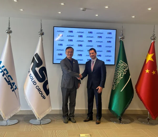
The establishment of SatVision follows a strategic partnership with AIRSAT Technology Group Limited, a leading Chinese provider of high-resolution satellite solutions. Leveraging AIRSAT’s constellation of state-of-the-art optical and Synthetic Aperture Radar (SAR) satellites, SatVision benefits from a foundation of proven innovation, reliability, and mission-critical data delivery.
RSG is registered on the UP42 platform developed by CST and Neo Space Group (NSG) to sell Satellite Data, Satellite Imagery, and Earth Observation (EO), as well as the Value-Added Services (VAS) and AI Analytics.
About AIRSAT
- Established in 2020 with its headquarters in Hefei, China.
- Established by AIRCAS (The Aerospace Information Research Institute under the Chinese Academy of Sciences).
Committed to the industrial transformation of scientific and technological achievements in the AIRCAS. Including:
- Satellite designing and manufacturing
- Constellation operation
- EO data services.
AIRSAT Constellation
- Composite constellation including:
- 300~500 fast-response optical satellites (2m resolution)
- 48 SAR satellites
- 20 high-resolution optical satellites
Multi-way Earth Observation
Hourly revisit to any position of the Earth’s surface in SAR mode
About 15-minute response time in fast response satellite mode
SAR Satellites… not affected by weather/light and operate 24/7
SatVision Services
EARTH OBSERVATION & SATELLITE IMAGERY
APPLICATIONS

Mineral Resources Monitoring
- Remote sensing images of coal mines and real-life photos

National Security: Monitoring Vehicles
- Kidnapping
- Riots
- Social emergencies
- Shoreline monitoring
- Vessel monitoring in the whole range of ocean levels
SERVICES & SOLUTIONS
- Earth Observation and Satellite Imagery Services
- High-Resolution Imaging up to 0.5m
- Optical Camera, SAR, and Hyperspectral Imaging
- Timely and Accurate Data Delivery
- Comprehensive Remote Image Database
- Climate Monitoring and Analysis
- Agriculture Sector Consulting
- City Management and Planning Services
- Marine and Sea Monitoring
- Emergency Management Support
- Energy and Mining Sector Analysis
- Border Safety and Security Services
- Custom Consulting Reports
- Public and Private Sector Solutions


